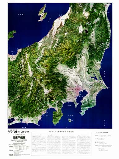
LANDSAT MAP KANTO and KOSHINETSU
SCALE=1:500,000

Copyright (C)TRIC
LANDSAT MAP KANTO and KOSHINETSU
SCALE=1:500,000

Copyright (C)TRIC
Copyright(C)1997, by Tokai University Research & Information Center
No reproduction or republication of any contents on TRIC HOME PAGE without written permission
All Rights Reserved
Updated on January 29, 1997