A study for practical use in forest environment monitoring using satellite data
Forest change investigation in Kumamoto prefecture
TRIC has been carrying out annual forest change investigations in Kumamoto prefecture using satellite data since 1987.
As satellite data can observe earth's surface information form global scale to local area,it is considered to be suitable for forest environment investigation covering wide area.
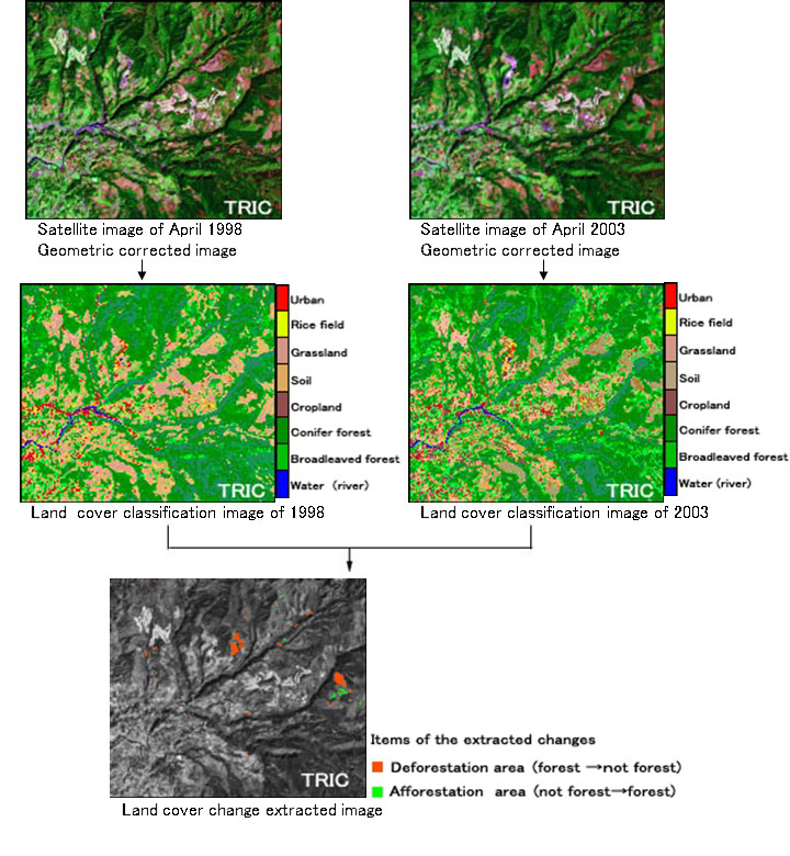
A couple of strict geometric corrected LANDSAT scenes acquired in the same season of different year were used for this investigation.
By the land cover classifications of satellite images and ground truths, a lot of changes between two satellite scenes were clearly extracted, and the coordinates of deforestation and afforestation inside the target area were recognized as a result.
Since all the resulting data owns coordinate information of longitude and latitude respectively, it can fit on a map as well as it is useful for compilation of forest change database. This practical investigation will be still continued.

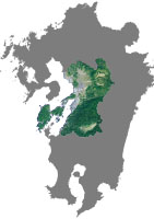
Target area (Kumamoto)
Image processing : Tokai University Research & Information Center
Data : LANDSAT-5 TM,LANDSAT-7 ETM+
Reference : Report of the forest change investigation using satellite
data in Kumamoto prefecture,2003


